It
was Monday, the morning of September 25th. We got the
dingy loaded on deck and all of our stuff stowed away, and with a
good weather window predicted. We sailed out of the pass by the
village in Makemo, as the tide turned to go out, around 2pm. Kind of
easy to see the pass, it is the opening where there are no trees.
You can see the light house and school on the right side of the
photo.
With
beautiful sailing conditions we were underway for the four days it
would take us to sail to Fatu Hiva, the most Southern of the
Marquesas islands.
The
view from the cockpit after exiting the pass. You can see Makemo on
the chart plotter.
The
next day at sea the skies were quite clear with not many clouds.
Winds were 10 to 15 knots and the seas were low. Perfect sailing
weather in the South Pacific Ocean! On Wednesday we sighted Napuka,
one of the Ilse du Disappointment. The wind shifted a bit and we were
able to sail right between the two islands of Napuka and Tepoto.
I
climbed the mast pulpit to get a better view, to make sure there were
no visible dangers in the water. Mike sneakaly took this shot of my bum ;-)
The
view from up here is quite spectacular! But be sure to hold on!!
Hanging
on to the shrouds and balancing on a ss rail. I am wearing one of
the lycra outfits we had made by Katia in La Paz. At sea they are
incredibly comfortable and keep the sun off my arms and back.
Very
few people come this way, but there is an airport, a village, a
church and a landing dock for supply ship tenders, in open ocean.
These islands do not have any access to the inner lagoons.
As
we got closer I noticed through the binoculars a cell phone tower.
So I decided to try my internet antenna from the local cell phone
company, Vini. Lo and behold here 1/2 mile off the island I got
internet!! Blew my mind!
The
closer we got the better we could see the church and the landing
buildings.
I
wondered why they were named Disappointment islands and found out via
my friend Linda on Jacaranda. First discovered in 1520 by Ferdinand Magellan. He named them this because he was disappointed to find
no fresh water. Later in 1765 Explorer John Byron was also disappointed
to find the natives were not very friendly. But they sure weren't
disappointing to us! Some thing to look at on our passage, as well
as internet in the middle of the ocean!! These low atolls of the
Tuamotu Island group come up on you fast and leave you fast and you
can't see them more than about 5 miles away.
Looking
like a fire over the horizon, the sun set on our third day at sea in
a blaze of glory!
The
next morning we had squalls all around us. As the early dawn I
thought I saw something break the surface of the sea.
Dolphins!!
They
were playing in the swells that were getting bigger now, jumping and
having a good time.
They
stayed with us for quite a while as dawn was approaching.
Surfing!
Squall
glowing in the rising sun behind us.
Finally
the sun is back above the horizon.
Always
remember, rain squalls plus sun equals rainbows!!
Approximately
40 miles away, we spot Fatu Hiva. Not sure if that was rain drops or
spray on the dodger windows.
The
wind now is picking up and we had 20 plus knots for the last 6 hours
of the passage. Glad we left when we did so we did not have this
for the whole trip!!The island is getting bigger and bigger as we
approach. We are not in the Tuamotus any more Toto!! These are big
tall mountainous islands!
Avatar
with a bone in her teeth and the spray goes flying. We are trying to
make it there before sunset.
Starting
to see some detail in the hills now.
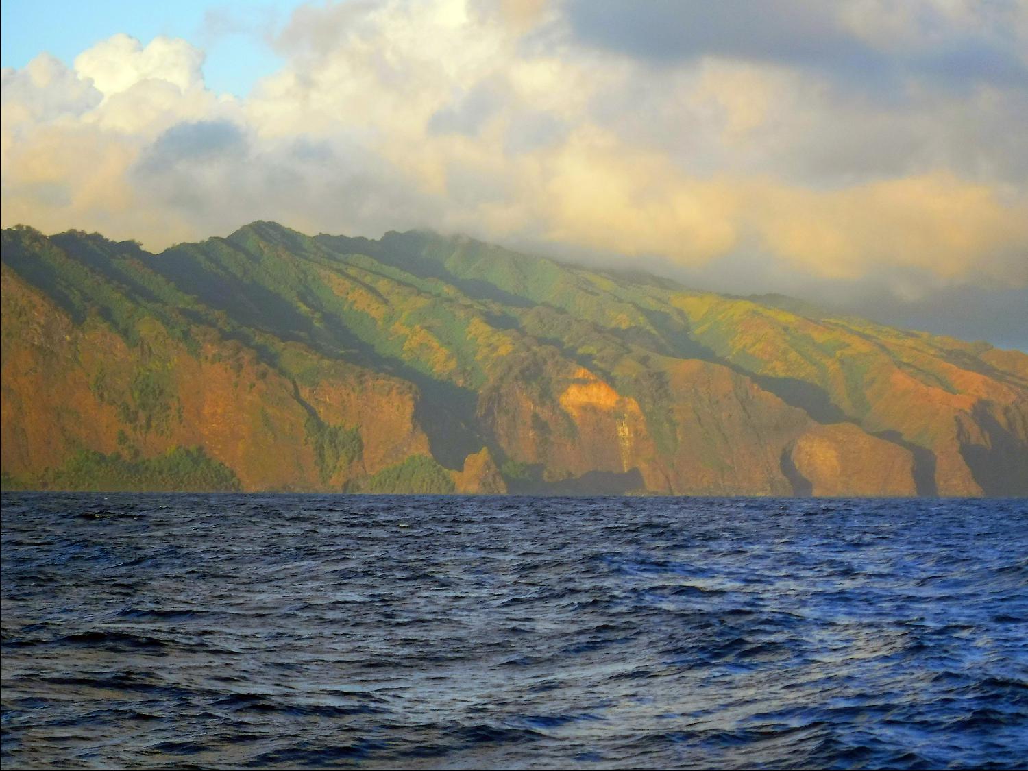
Fatu
Hiva is a beautiful, welcoming sight.
We
are racing the sun now, but think it will be dark by the time we
arrive. The hills turn red as the sun is getting low.
She
glows in the setting sun.
The
hills here are emerald green, just as I remembered.
We
are aiming for the Bay of Virgins, which is behind to the left of the
redish colored ridge coming in from the right and the lower ridge
coming towards us from the high mountains on the left.
The
radar shows us were we are going, about 8 miles away. And the fish
finder is showing some strange warm spots in the depth of the abyssal
bottom only 4 miles from the closest shore. But the temp is warm
enough to make you want to go swimming!
The
sun drops behind a big swell and we are left in the darkness to feel
our way into the bay using radar.
We
were scouted by two boobie birds who kept circling around the boat.
As
we got near the point the water came up to about 200 feet, but then
suddenly dropped away to the abyss again.
We
had no problem finding our way into the bay with advice from fellow
cruisers on the SSB radio, Pacific Magellan net and using the radar.
Once the anchor was down it was time to get a full nights sleep after
4 days of sailing. Possibly the most amazing thing about the trip
was that we never had to tack! Sailed upwind on a close reach on a
starboard tack all the way, just over 400 miles!!